About / How I work

I like complicated places.
Especially when they can be made simple.

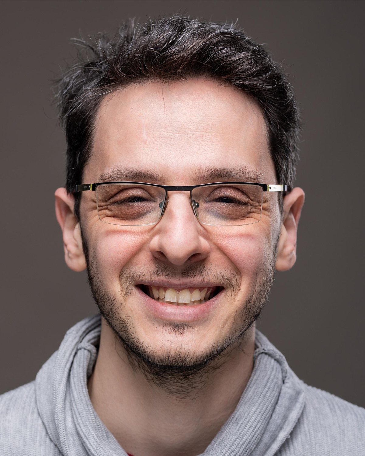
Pavel Belsky

I'm a Digital Twin & 3D Visualization Specialist with 20+ years of experience across GIS, 3D modeling and the AEC world.

I've always been drawn to maps and architecture — ways of making sense of the world around us. Over the years, that interest grew into a career combining manual mapping, cartography, 2D/3D spatial analysis and 3D modeling.

Today, my work focuses on turning real environments into useful digital representations. I build 3D Digital Twins and spatial visualization tools for urban environments, facilities, real estate and historic places.

What interests me most is not simply making something look impressive. It's figuring out which details matter, representing them accurately, and delivering the result in a way people can actually use.

I'm fast, detail-oriented and collaborative. I like bringing the client into the thinking process early, questioning assumptions, and finding solutions that are often simpler than the first idea.

“I don't believe every problem needs a bigger model. Sometimes it just needs a better one.”

What I do

The useful stuff

Digital Twins

Build 3D representations of real environments and connect them with spatial information so people can understand and explore the place.

3D Modeling

Model buildings, interiors, infrastructure and historic structures from plans, photographs, GIS, LiDAR and other reference material.

GIS & Spatial Analysis

Organize, analyze and visualize spatial information using GIS workflows that connect the map, the model and the real-world environment.

Lightweight Web Visualization

Optimize 3D content and spatial data so complex environments can be explored online without requiring heavyweight specialized software.

Space & Asset Management

Turn buildings and facilities into spatial interfaces for understanding rooms, units, assets, construction information and other operational data.

Historical Visualization

Reconstruct and interpret existing or lost places using historical evidence, spatial data and 3D modeling.

Technical toolbox

The machinery behind the models

GIS / Spatial

ArcGIS Pro · ArcGIS Online · ArcGIS Enterprise · QGIS · Python · SQL · Cartography · Spatial Analysis

3D / Modeling

Blender · SketchUp · AutoCAD · CityEngine · 3D modeling · Texturing · Optimization

Web / Delivery

Web 3D · Scene Layers · SLPK · 3D Tiles · Interactive GIS · Experience Builder · StoryMaps

Selected experience

20+ years
City of Kent, WASenior GIS Analyst & 3D Modeler — GIS, 3D modeling and Digital Twin applications for municipal facilities and planning.
The Acceleration Agency / TAADigital Twin consulting and 3D modeling for large-scale environments, including the Port of Corpus Christi.
Pavel Belsky / ConsultingGIS and 3D modeling consulting across visualization, historic preservation, space management and spatial analysis.
Selected collaboratorsBehar Mapping · Forensic Architecture · Port of Corpus Christi · City of Kent · historic preservation organizations and other project partners.